


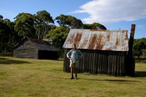
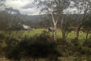
Tin Mines Barn
Located on the Tin Mine Fire Trail, about 20 Km south of Dead Horse Gap.
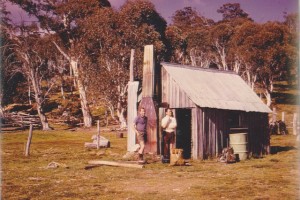
The Barn is the building on the right in this photograph, the other being Charlie Carters.
Brief History
The area has been mined since 1873 for tin, but in 1935 to 1936, the Mt Pilot Tin Mining Syndicate built several huts on the site, but all were abandoned by 1938.
The Barn has had a varied life being used as a barn or workshed by a variety of parties including the SMA and Charlie Carter.
There was also a Tin Mine SMA shelter at 117376, built by the SMA in 1954 for survey and later used by CSIRO and Forestry until it was removed by the NPWS in 1992.
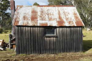
Construction
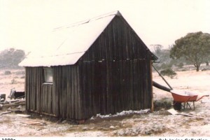
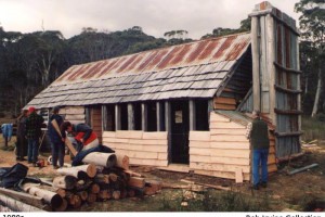
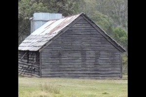
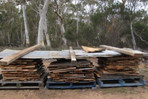
The Tin Mines barn is a large and interesting structure, with solid posts and a complex roof structure. The shingles are the longest known in the park and about 15mm thick. The weatherboards are chamfered from about 35mm to 12 mm thick. The corrugated iron section of the roof was added many years ago.
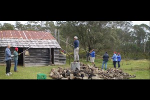
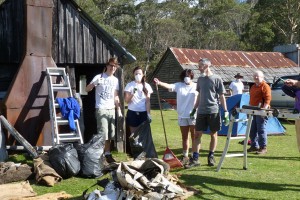
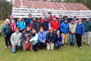
The floor is hard clay, and very polished, appearing almost like a wooden floor. The current rustic furniture was fashioned by the current and long standing Caretaker Group, the Illawarra Alpine Club.

References
- Hueneke P174-77
- KNP POM numbers are L.32 and L..119.
A Conservation Brief and History notes exist.
3D Model
.
Page updated 31 December 2020